Export Route

Export Route Tool
Pipe software allows to export the mission in two different ways: KML and Google Earth files.
KML
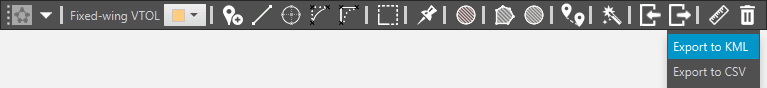
Export to KML
This tool facilitates to export the mission in KML format.
KML, Keyhole Markup Language, is a code language, based in XML, used to represent geographical data in three dimensions.
Google Earth

Google Earth Tool
This tool allows to export the mission to Google Earth, it can be very useful depending the objective of the mission.
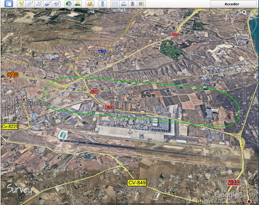
Veronte Mission in Google Earth